|
| Title: |
Western Canada, Transport System, Cumberland House, Fort Edmonton, and Fort Assinboine |
| Creator: |
Gabriel Dumont Institute |
| Subject: |
Geography, Maps, Fur Trade, History, Hudson's Bay Company, Trading |
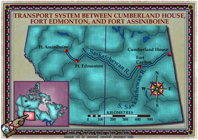
| Description: |
This map illustrates one of the main Métis trading routes in the nineteenth century Prairie West. The map was originally produced by the Gabriel Dumont Institute for the CD-ROM, "The Metis: Our People, Our Story". |
| Publisher: |
Gabriel Dumont Institute |
| Type: |
Image |
| Format: |
image/jpeg |
| Language: |
English |
| Date of Copyright: |
May 30, 2003 |
| Coverage: |
Alberta, Saskatchewan |
| GDI Media Location: |
GDI Images Disk Oct 2/2002 |
| GDI Media Filename: |
gdi_m100.jpg |